

Book a demo and start your free 30-day trial today.
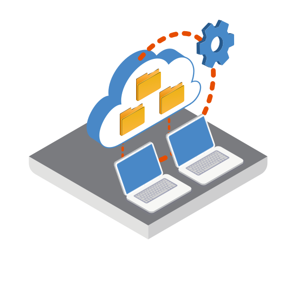
Built by geotechnical engineers who understand the weight of every borehole log, GeoDin is the geodatabase trusted by Arcadis, Siemens, CDM Smith, and Tennet to manage subsurface data across more than 15,000 projects. Store your data locally, on your own network, or in the cloud - the choice is yours, and ownership stays with you.
From the first field investigation to final design hand-off, GeoDin keeps your geotechnical workflow connected, compliant with 11 international standards, and ready to scale with the most demanding infrastructure projects.
-
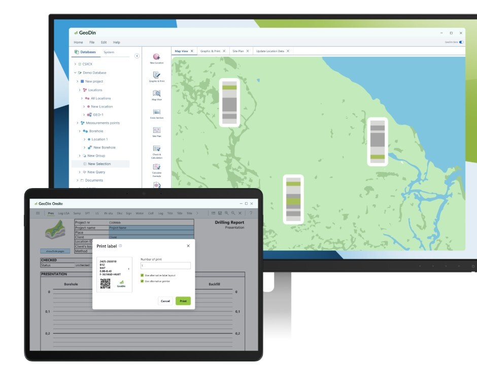
Capture field data on any device with GeoDin Onsite app
- Manage, validate, and report subsurface data in GeoDin
- Bring boreholes and lithology into Civil 3D with GeoDin Ground
HOW GEOTECHNICAL ENGINEERS BENEFIT FROM GEODIN
Whether you're migrating decades of legacy data or starting your next major investigation, GeoDin gives engineering teams the structure, flexibility, and confidence to deliver better ground models, faster.

Ease of Mind
Catch outliers, validate inputs, and standardize reporting before issues reach the design stage. Quality control is built into every step.
Freed up agenda
Automate the repetitive work of logging, formatting, and exporting so your team can spend more time interpreting the ground and less time wrangling spreadsheets.

custom models
Adapt GeoDin to the way your engineers actually work. Tailor templates, calculations, and reports to match your standards - not the other way around.